War Driving with WifiScan for Android
About once a month I’m going to do a write up on an featured Android Application. I love my Android phone and I have been recommending to all my friends to get one. So The first one I’m doing is called wifiscan. Enjoy.
I’ve been a fan of War Driving for a long time. If your unsure of what War Driving is let me explain. All you do it get a good wifi card (one with external antennas are even better) and drive around town looking for open networks. Keep in mind 2 things. For starts, I don’t actually do this anymore because I have the net on my Android and an actual cell card so I get access anywhere I go. Second. Some consider it illegal to scan for networks. This is not true, as long as you don’t use the network without permission from the owner!
I use this program quite a bit on my phone since currently where I live 3G is not available and I need to use EDGE. It’s not slow, but trying to show a friend the new monitor I was to get on newegg.com takes a while to load. We are usually at coffee shops so I use wifi scan to ensure I’m connecting to the correct wifi. Also the program does have a couple limitations. When exporting a kml file (for google earth) it can cause the Android to think the program has frozen. It hasn’t. Actually the Android is just show at writing files, click wait and deal with it. Also it only scans once every 3 seconds. Most scanners you would use on a laptop scan many times per second depending on what you card can handle. Therefor this doesn’t work well when shooting down the freeway at 70MPh nor driving 25 through a neighborhood. It’s not perfect, but I still like it.
Please note that I have blurred out any information that could compromise the security of anyone’s network or location.
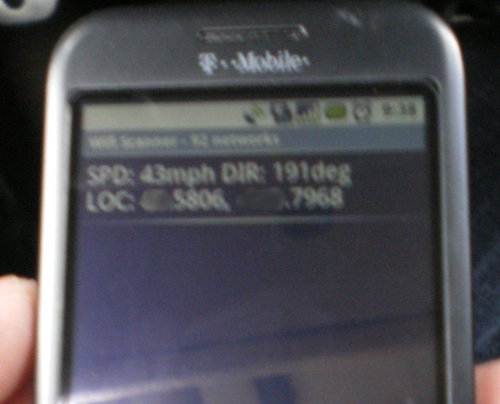
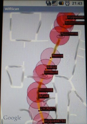
To start I love the speed and direction that is shown. I tried to take a picture when I got to an open stretch of road with no one near me, but the picture turned out a little blurry. I’m sure you get the gist of it.
Just so show how cool this program is I exported the kml file and loaded it in my google earth. It doesn’t exactly pinpoint the exact location (like what house it’s in) of the network, but it does a good job none the less.
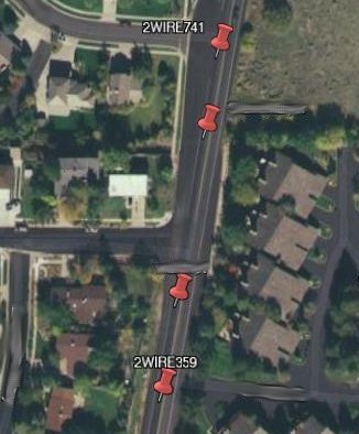

The red pins are encrypted networks and green are open. You can even toggle it to show only encrypted or only open networks. Here are 4 pics that should be helpful. Once again I’m sorry that my picture taking abilities are not very good.
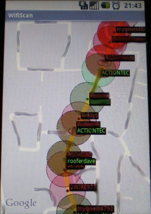
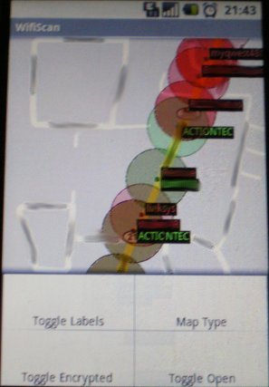

Did you see my battery drop? That does happen when I get off a long phone call and start using the phone for other things.
Anyways, even if your not a War Driver I still recommend this program, it’s a lot of fun. You can download it from the Android Market.
Check out the developers website at www.waterflea.com/android.php